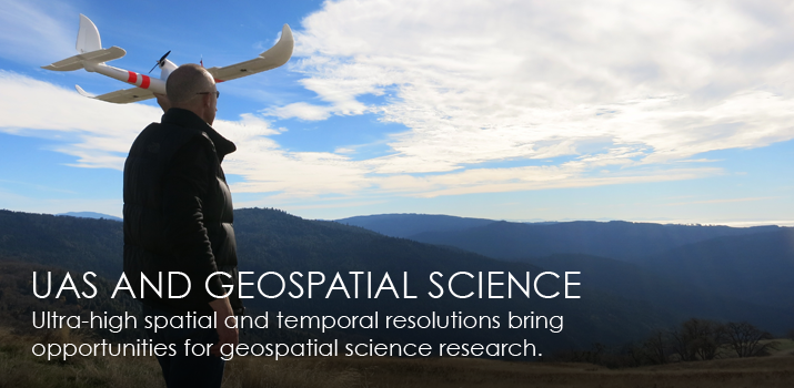
UAS and Geospatial Science
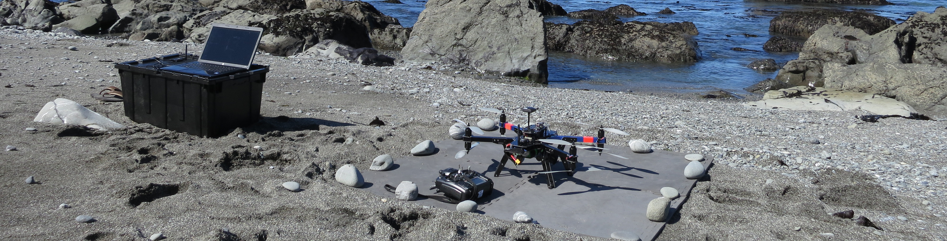
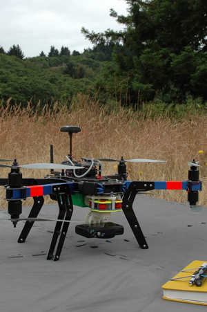
With the highest spatial and temporal resolutions, data captured with unmanned aircraft systems (UAS) can provide information that cannot be affordably obtained from other data sources. It is when precision is needed, that UAS provide the greatest opportunity. UAS are not a new technology. They have been used for years in various applications. In Japan, they have been used extensively to aid in precision agriculture for nearly 20 years. However, today the price-point has come down, reducing the previous barrier-to-entry. Now scientists, farmers, and even students, can acquire this technology and monitor environmental conditions like never before.
|
 |