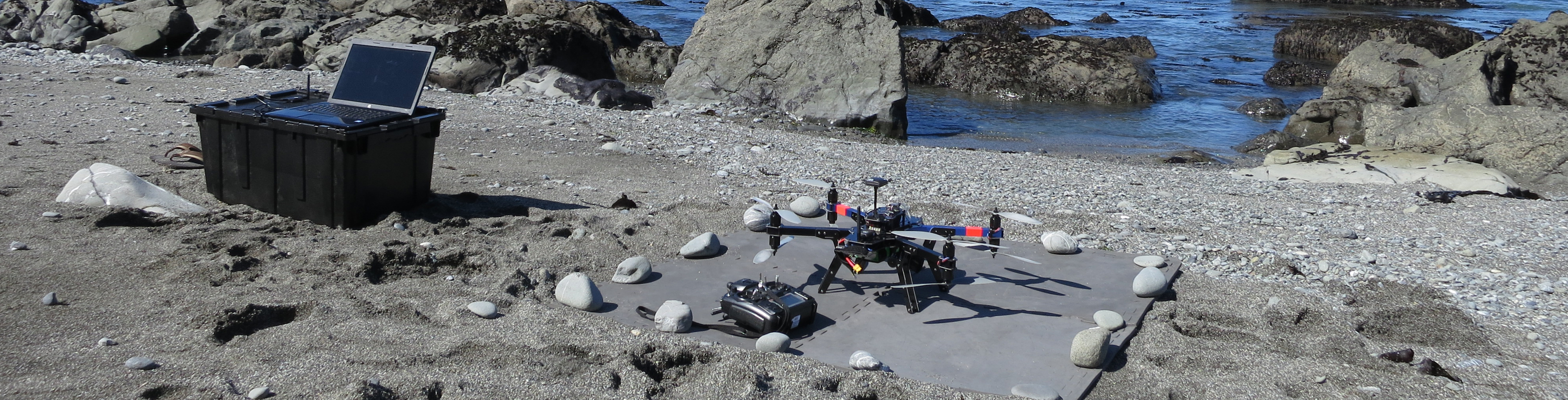
UAS Contributions to Field Research
As an outgrowth of HSU's College of Natural Resources and Sciences, ISAMM expands upon the University's existing research capabilities. The data acquired and services provided by the Institute will enhance the University's capacity to study local ecosystems and their components.
Field Research Opportunities
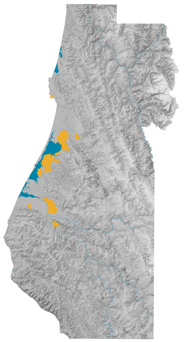
Humboldt County is located in the northern portion of the California Floristic Province, which is one of only 33 biodiversity hot-spot in the world. The area is home to many endemic plant and animal species, many of which are listed as threatened or endangered. Consequently, there is an increasing need to improve the body of scientific knowledge that informs how regional resources are managed. Field research opportunities are numerous, and provide students with hands on experience solving real-world problems.
What kind of research can we do?
Vegetation Mapping and Monitoring
UAS equipped with metric RGB cameras, and even standard point-and-shoot cameras, can be used to capture aerial images of vegetation. These images are used to map invasive plant species distributions, monitor algal blooms, and evaluate fine-scale changes in vegetation structure.
Riverine Habitat Suitability Modeling
Unmanned aircraft equipped with LiDAR can be used to develop ultra-high-resolution digital elevation models that can be used to create models accurately depicting riverine habitat characteristics. Additionally, RGB photographs and structure-from-motion (SfM) software can also be used develop precise digital elevation models and 3D models.
Wildlife Monitoring
UAS equipped with video cameras combined with ground-level first-person-view (FPV) imaging systems can be used to locate, track, and monitor wildlife movements, population dynamics, and behavioral characteristics.
|