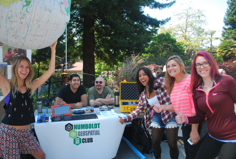
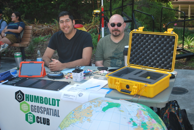
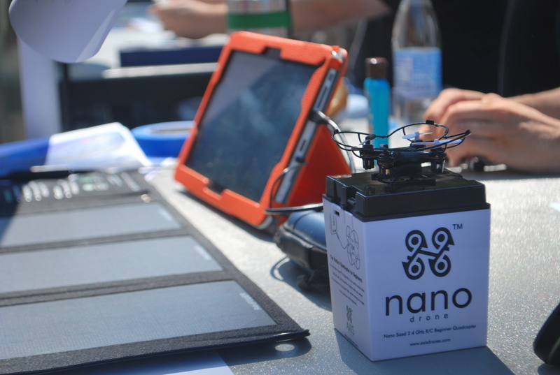
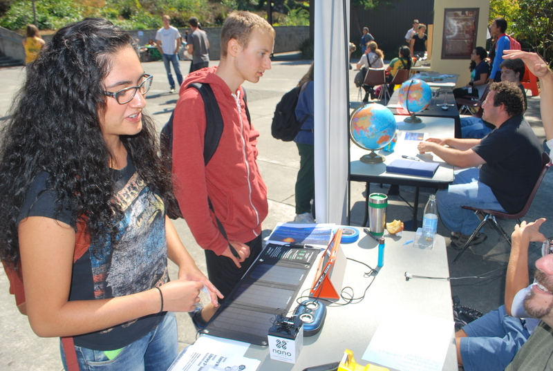
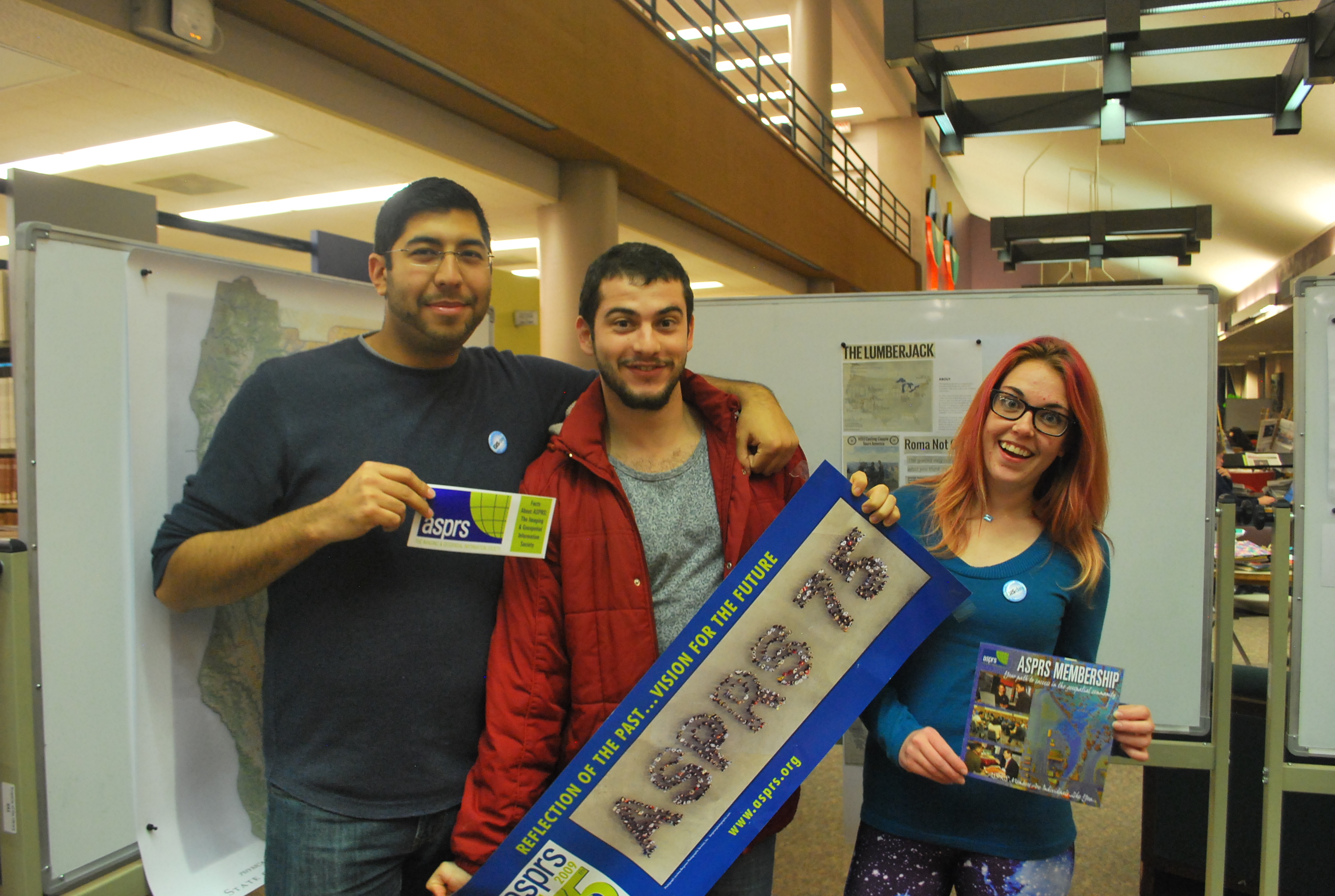
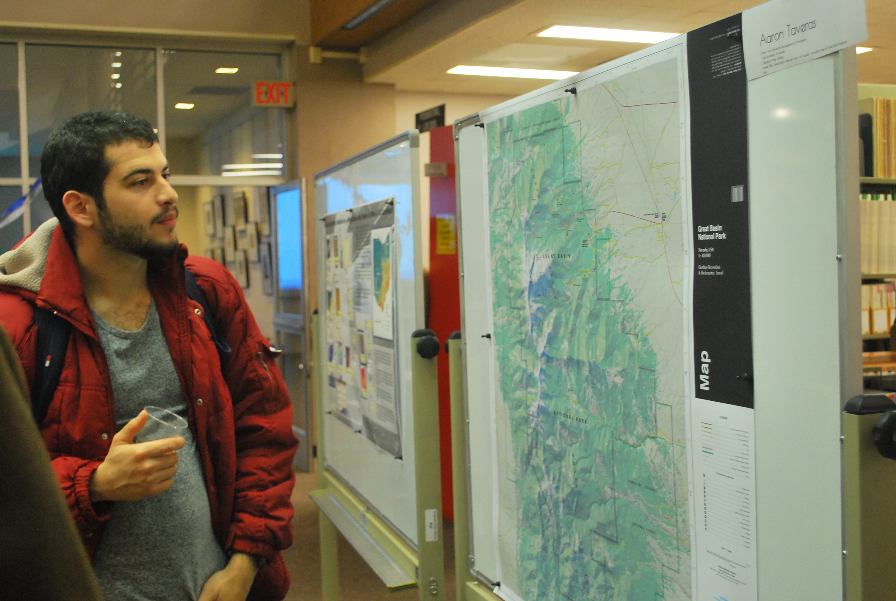
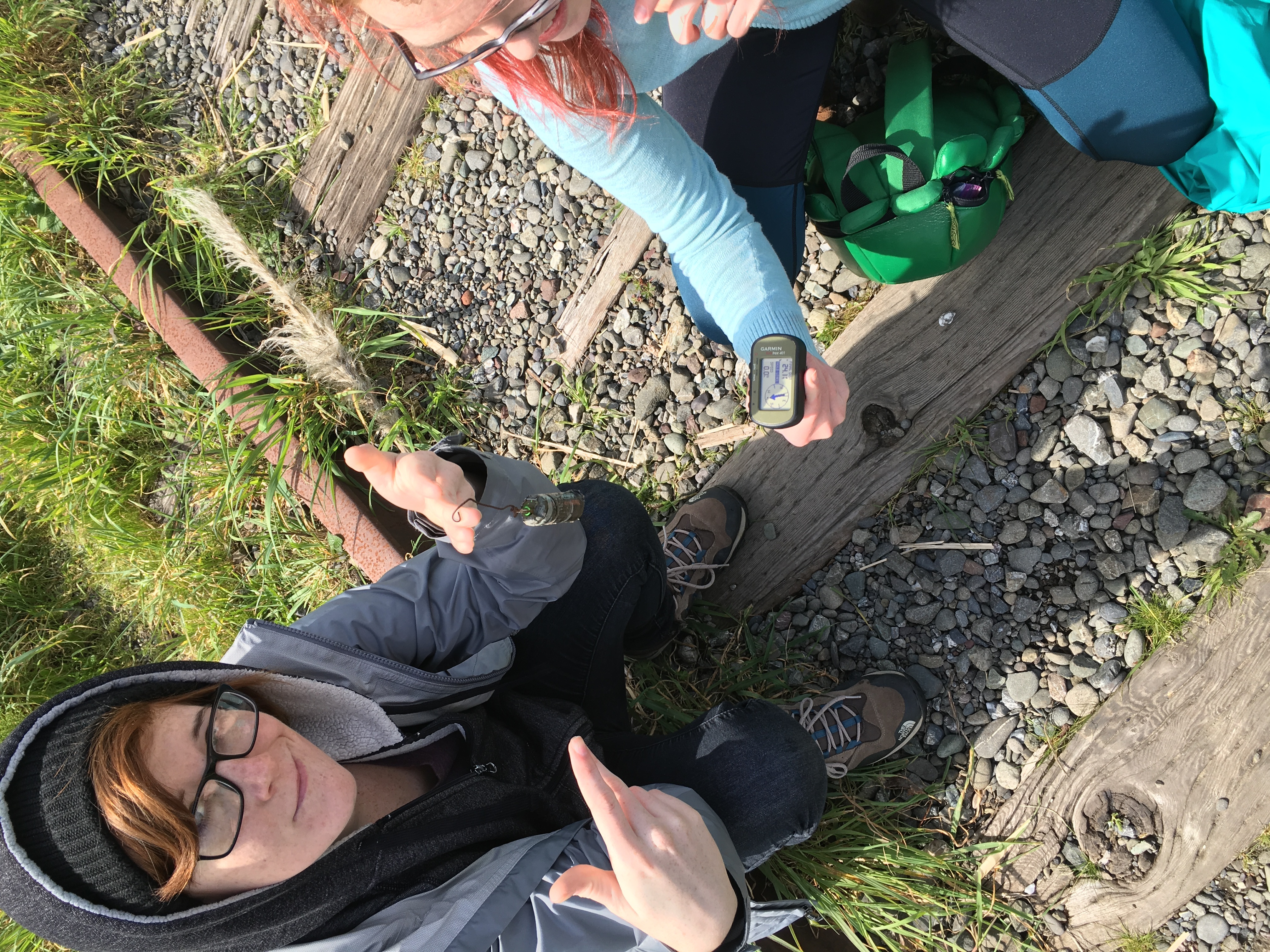
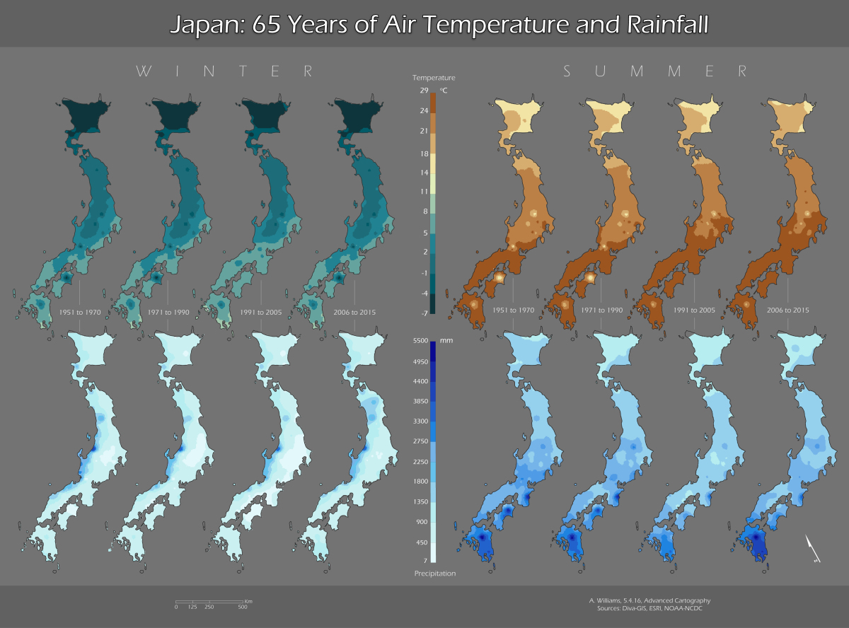
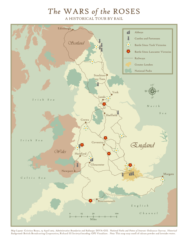
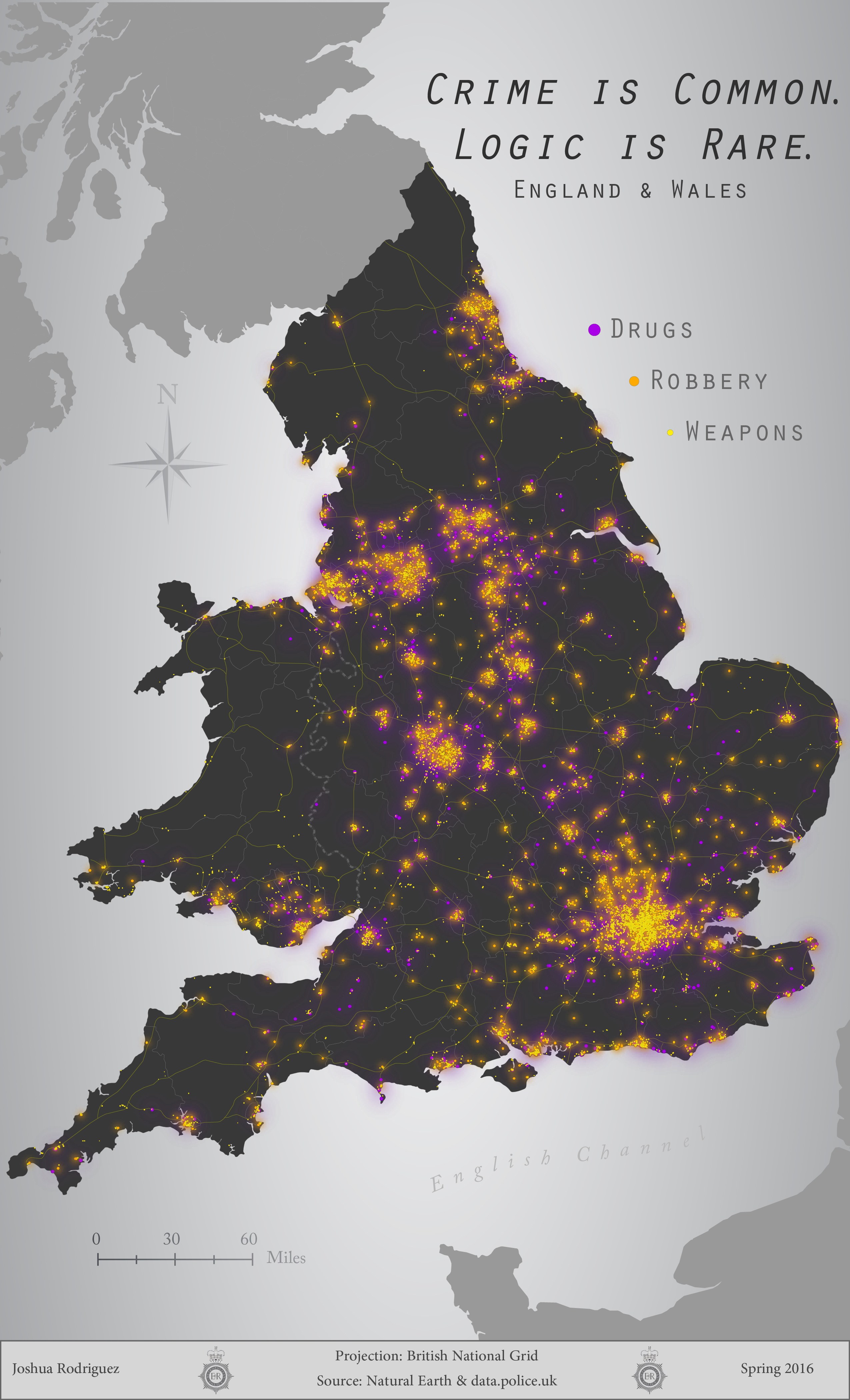
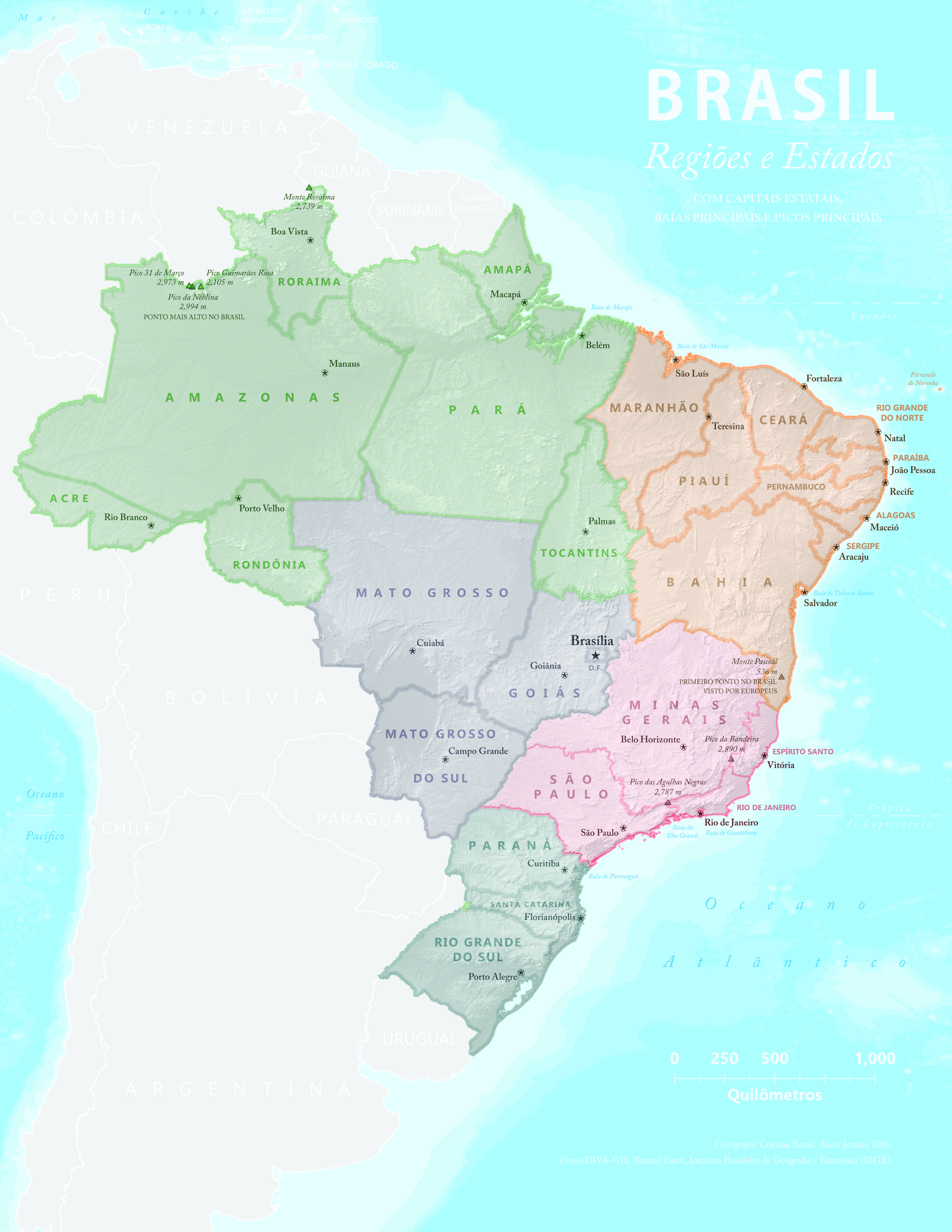
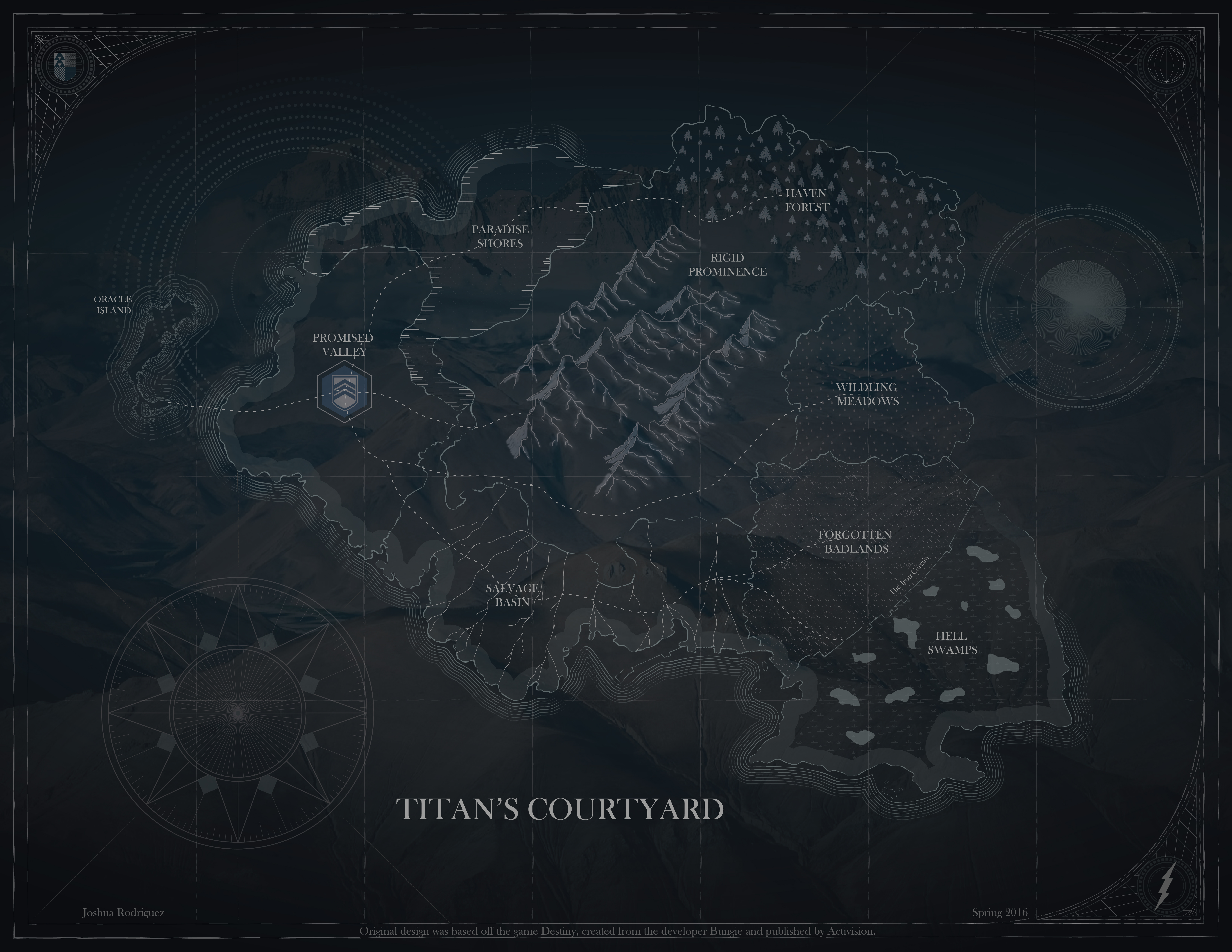
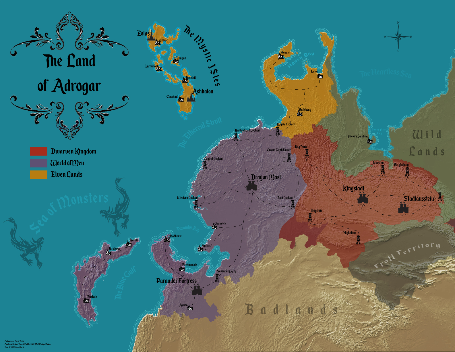
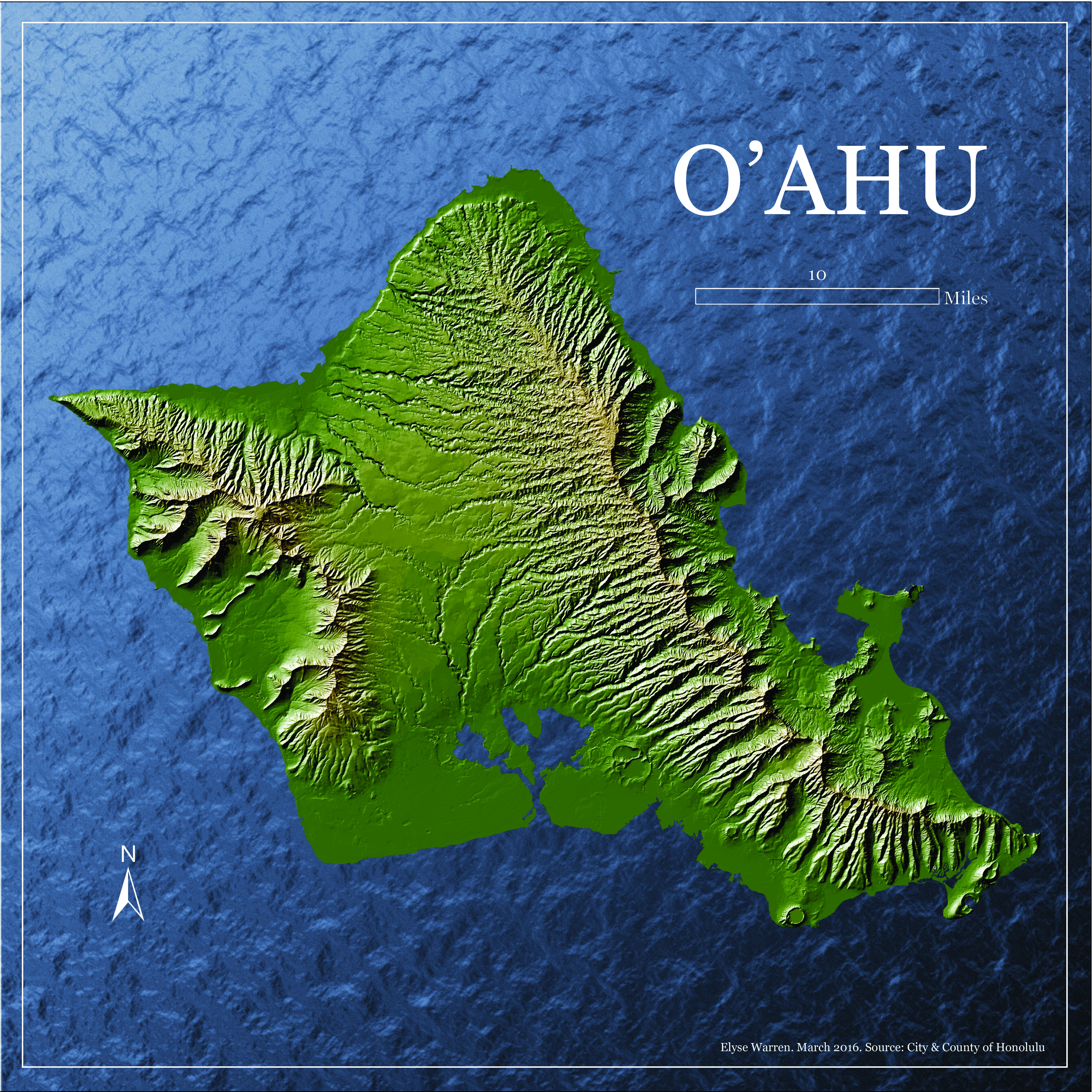
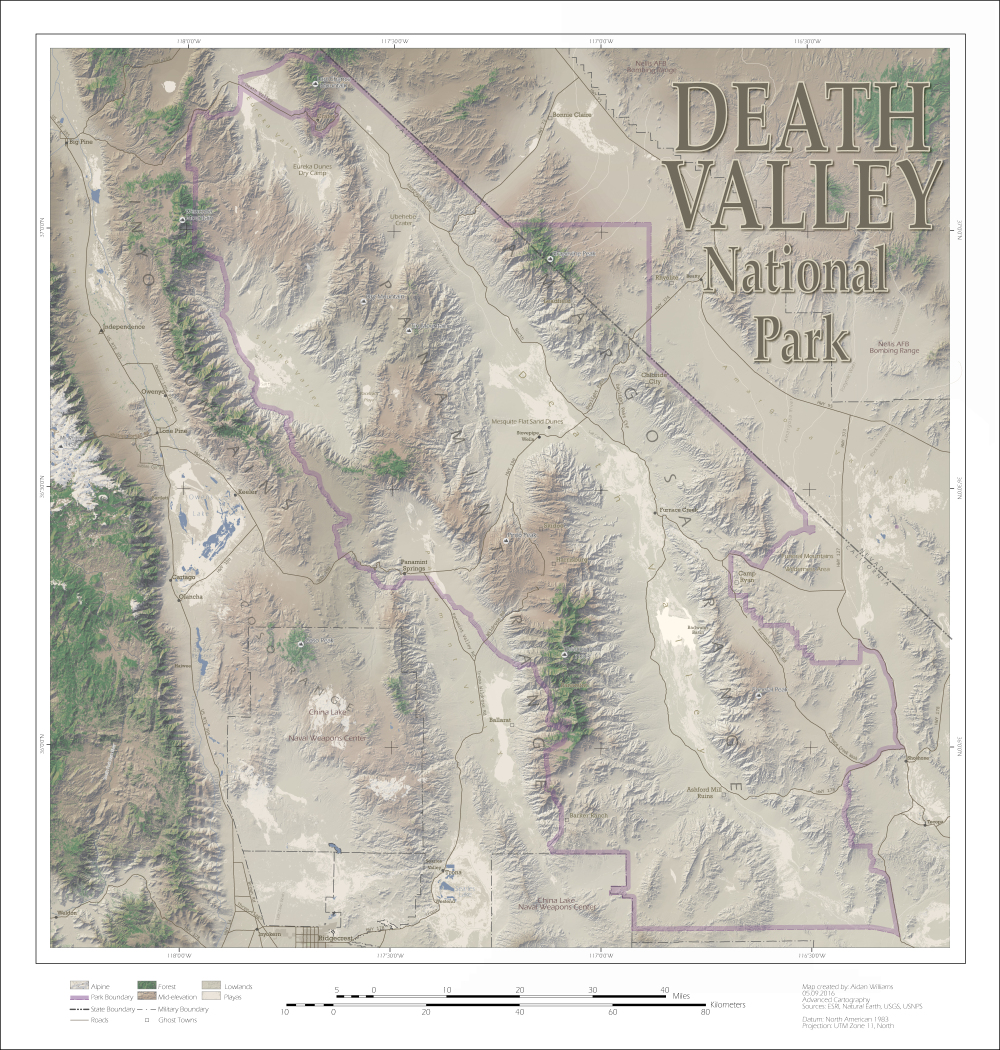
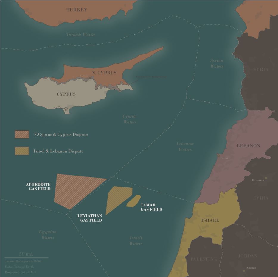
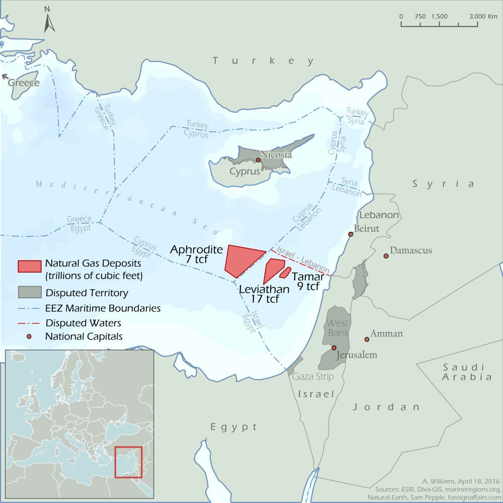
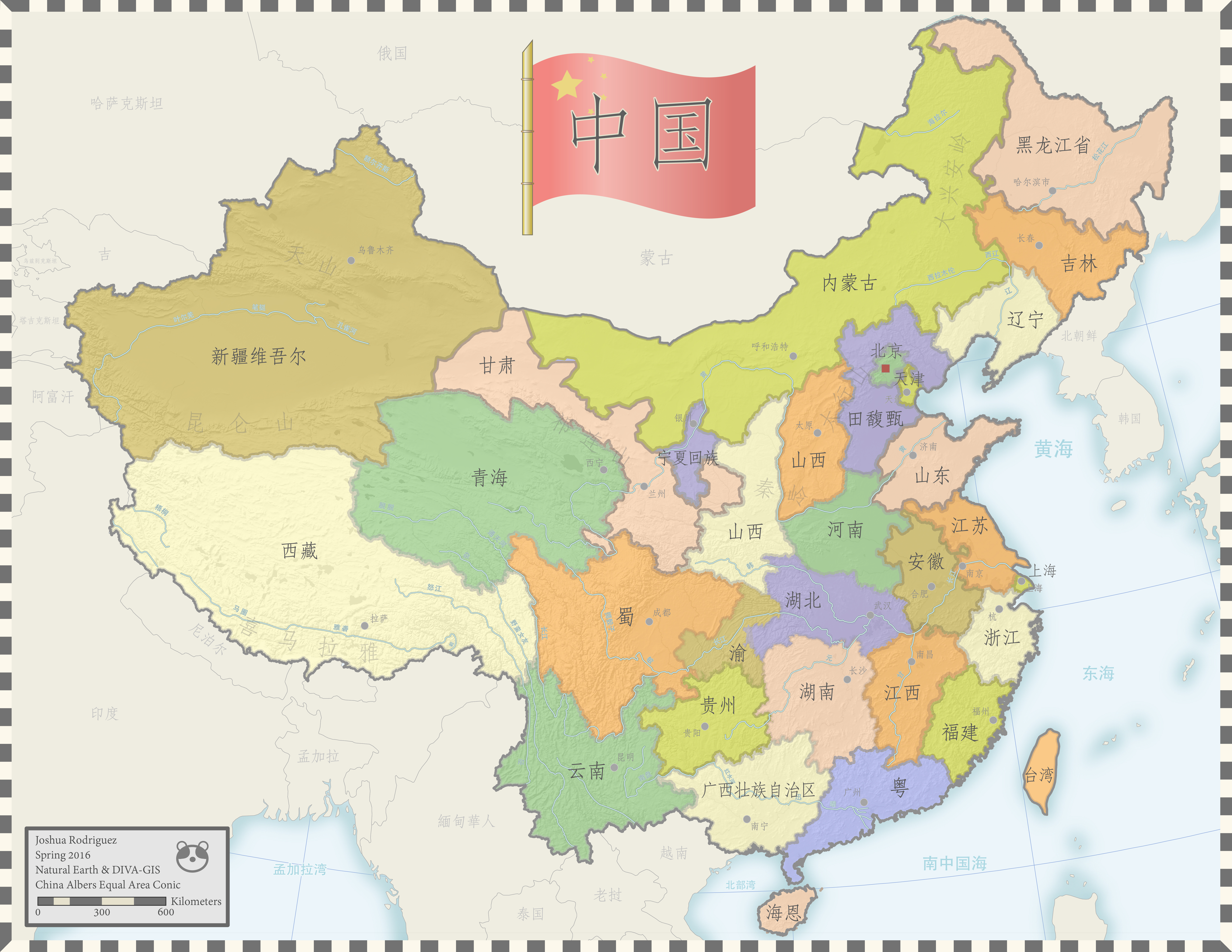
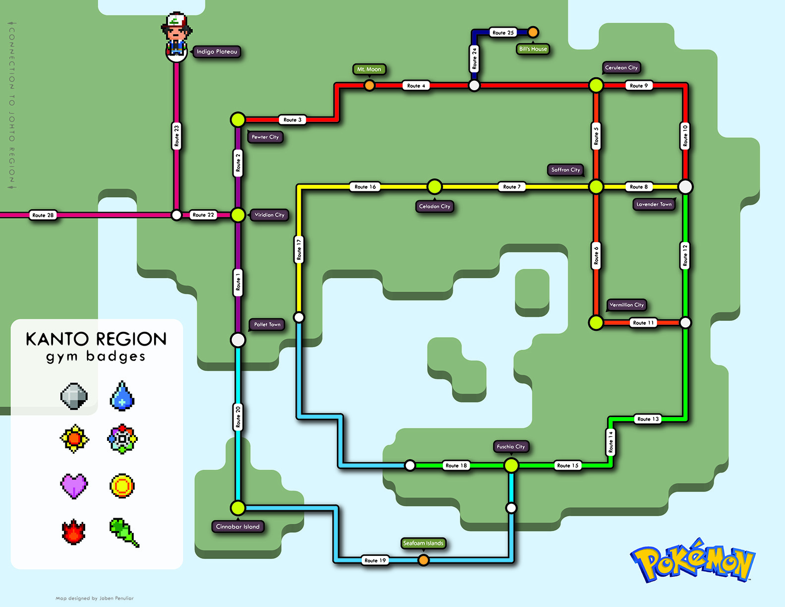
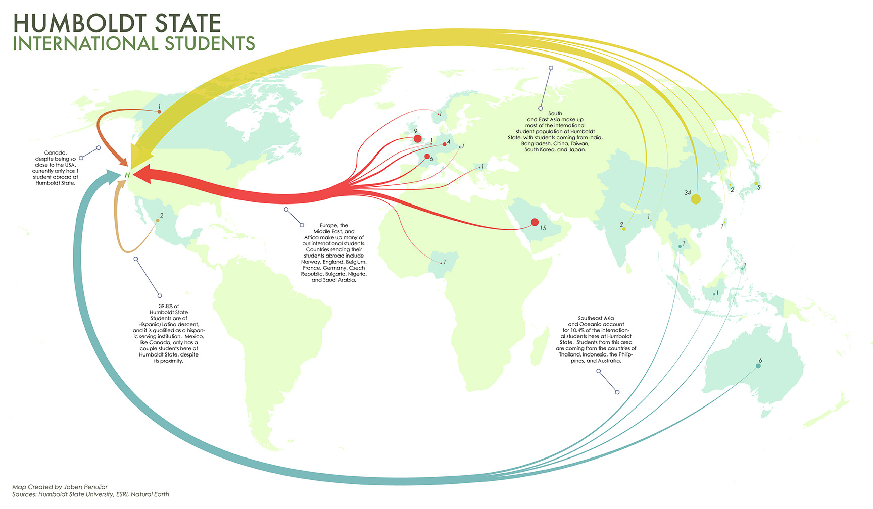
Header

About Us

Welcome to the geospatial club website! Where we strive to provide a support network for students interested in geospatial analysis. The club is comprised of students from diverse backgrounds and disciplines, including environmental science and management, geology, geography, wildlife, and anthropology. The club serves to answer geospatial questions, provide instruction on equipment, provide learning experiences, and seek out and engage members in career development opportunities. Where applicable, the club also provides funding to support members interested in attending and presenting at conferences and industry related events. Club members also partake in geospatial meet-ups and outdoor events, such as geocaching.
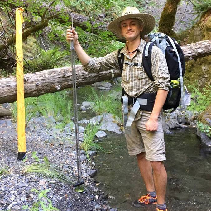
HSU Geospatial Club Image1 HSU Geospatial Club Image2 HSU Geospatial Club Image3 HSU Geospatial Club Image4 HSU Geospatial Club Image5 HSU Geospatial Club Image6 HSU Geospatial Club Image7 HSU Geospatial Club Image8

Club Officiers

Hazen Dunphy Whitney NewComb

President

Hazen Dunphy

Vice President

Whitney NewComb

Erik Daniels Tina Perez

Treasurer

Erik Daniels

Events Coordinator

Christina Perez


Sign-Up Sheet

Joining the club

To join the geospatial club, please attend one of our meetings or contact us through the club's email. Our schedule meetings are not yet determined, and will be announced shortly after school starts. Please see the schedule for upcoming events and relavent meetings in the "EVENTS" tab.


Contact Info

If there are any inquires about the club, contact us through our club email: gisclub@humboldt.edu

Map Gallery

A gallery of cartographic maps done by various students utilizing ArcGIS, Illustrator, and/or Photoshop. Please take a look at these exemplary maps, done by incredible cartographers.


  • earth

    Joshua Rodriguez, Environmental Science Geospatial Option, Spring 2016

  • TROUBLED WATERS: AT A GLANCE

    Cristina Bauss, Geography, Spring 2016

  • SIERRA NEVADA

    Garret Denise, Environmental Science Geospatial Option, Spring 2016

  • ATLANTIS

    Cristina Bauss, Geography, Spring 2016

  • CENTRAL MEXICO

    Brady Goodwin, Environmental Science Geospatial Option, Spring 2016

  • Japan: 65 Years of Air Temperature and Rainfall

    Aiden Williams, Environmental Science Ecological Restoration, Spring 2016

  • The WARS of the Roses

    Cristina Bauss, Geography, Spring 2016

  • CRIME IS COMMON. LOGIC IS RARE.

    Joshua Rodriguez, Environmental Science Geospatial Option, Spring 2016

  • BRASIL

    Cristina Bauss, Geography, Spring 2016

  • Northern California Earthquake Distribution

    Chris Muhl, Environmental Science Geospatial Option, Spring 2014

  • Humboldt Bay

    Chris Muhl, Environmental Science Geospatial Option, Spring 2014

  • Northern California Average Annual Precipitation with Emphasis on Arcata, CA

    Chris Muhl, Environmental Science Geospatial Option, Spring 2014

  • INTERNATIONAL STUDENTS JOURNEY TO Humboldt State University

    Joshua Rodriguez, Environmental Science Geospatial Option, Spring 2016

  • TITAN'S COURTYARD

    Joshua Rodriguez, Environmental Science Geospatial Option, Spring 2016

  • The Land of Adrogar

    Garret Denise, Environmental Science Geospatial Option, Spring 2016

  • O'AHU

    Elyse Warren, Geography, Spring 2016

  • DEATH VALLEY National Park

    Aiden Williams, Environmental Science Ecological Restoration, Spring 2016

  • Mediterranean Oil Dispute

    Joshua Rodriguez, Environmental Science Geospatial Option, Spring 2016

  • Disputed Oil Territories

    Aiden Williams, Environmental Science Ecological Restoration, Spring 2016

  • GEONOSIS

    Brady Goodwin, Environmental Science Geospatial Option, Spring 2016

  • China

    Joshua Rodriguez, Environmental Science Geospatial Option, Spring 2016

  • VISIT CUBA!

    Elyse Warren, Geography, Spring 2016

  • VOLCANOES of the HAWAIIAN ISLANDS

    Elyse Warren, Geography, Spring 2016

  • TIBET AND THE HIMALAYAS

    Patrick Wood, Geography & Environmental Science Geospatial Option, Spring 2016

  • Scotland Railway System

    Joben Penuliar, Geography, Spring 2016

  • INVASION!

    Aiden Williams, Environmental Science Ecological Restoration, Spring 2016

  • LAOS

    Joben Penuliar, Geography, Spring 2016

  • Pokemon: Kanto Region

    Joben Penuliar, Geography, Spring 2016

  • HUMBOLDT STATE INTERNATIONAL STUDENTS

    Joben Penuliar, Geography, Spring 2016

  • MANILA BAY

    Joben Penuliar, Geography, Spring 2016

  • SPAIN

    Deborah Engelhardt, Geography, Spring 2016

  • GAME OF THRONES

    Patrick Wood, Geography & Environmental Science Geospatial Option, Spring 2016

Earth
Crisis Oil
Sierra Nevada
Atlantis
Central Mexico
Japan Percipitation
War Roses
Crime is Common
Brazil
Earthquake Map
Humboldt Bay Map
Precipitation Map
HSU Flow Chart Map
Destiney Map
Land of Adrogar
O'HAU
Death Valley
Conflicting Oil Fields
Middle Eastern Oil Conflict
Genosis
China
Visit Cuba!
Hawaiian Volcanoes
Tibet
Scotland
Invasion!
Laos
Pokemon
International
Manila
Spain
Game of Thrones Map

Student Projects

Members of HSU's geospatial club are frequently involved in research endeavors with the University, the community, or with their own independent projects. Both undergraduate and graduate work is exhibited below.


Erin Degenstein

With the aim of restoring and maintaining natural ecosystems, it is imperative that land managers be able to identify areas that are threatened by invasive species. The need for targeted early detection surveys is critical, given limited resources and the immense area of rugged terrain that must be monitored.

Habitat suitability modeling is a spatial analysis tool that provides managers and researchers alike with an understanding of the potential distribution and spread of invasive species.

Velvetgrass (Holcus lanatus) is non-native perennial grass that aggressively invades wet meadows in Kings Canyon and Sequoia National Parks in California.

This study uses 1,223 recorded presence locations and Maximum entropy (Maxent) modeling to develop habitat suitability maps based on terrain and water features at a resolution of 10 meters.

Results will be discussed in the context of the model's ability to predict suitable habitat based on quantitative measures (AUC) and model applicability throughout the Sierra Nevada. Uncertainty based on sampling bias, original predictor layer data, GPS accuracy, and modeling methods will also be discussed.

Degenstein Posters
Figure 1. Erin Degenstein presents her poster on Modeling Habitat Suitability of Velvetgrass (Holcus lanatus) in Kings Canyon and Sequoia National Parks at the 2014 Cal GIS conference in Monterey, California.

  • 0
  • 1
  • 2
  • 3
  • 4

Events Calendar

During the semester, the club will engage in various events throughout the year. Don't miss out on the following activities down below. If you have an idea for the club to do, let us know.


Learning Resources

The club learning page was set up to offer students learning resources related to geospatial concepts. Geospatial learning resources are also available through HSU's online learning modules. If you have any interesting and/or helpful links or videos to contribute for the geospatial community, please email us.