The process of converting features on a map or image into digital vector data is called digitizing. There are two basic methods of digitizing:
Scan digitizing works for some data sets but we'll be using manual digitizing as it always works.
Manual digitizing is human guided coordinate capture from a map or image source (tracing).
1. Heads-up Digitizing (on-screen)
2. Hardcopy Digitizing
If you need to digitize a large amount of information, you may want to use hardcopy digitizing as it can be more accurate but it requires a tablet to be efficient. We'll be doing "Heads-up Digitizing".
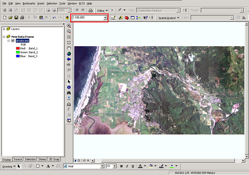
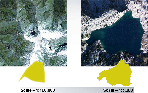
Map scale is the relationship between distance on the map and distance on the ground. Knowing the scale you are digitizing at is critical to maintaining accuracy of the data you are creating.
The scale of your map is not fixed in a GIS. It can be adjusted in ArcMap using the map scale drop down tool:
A larger scale of the same map:
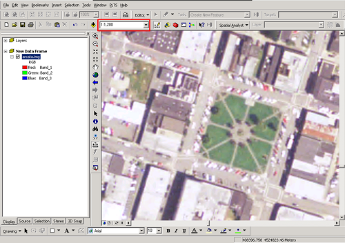
Note: Many people confuse the terms "small" and "large" scale. Remember that features appear "small" on a "small scale" map and appear "large" on a "large scale" map.
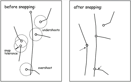
Positional errors are inevitable when data are manually digitized.
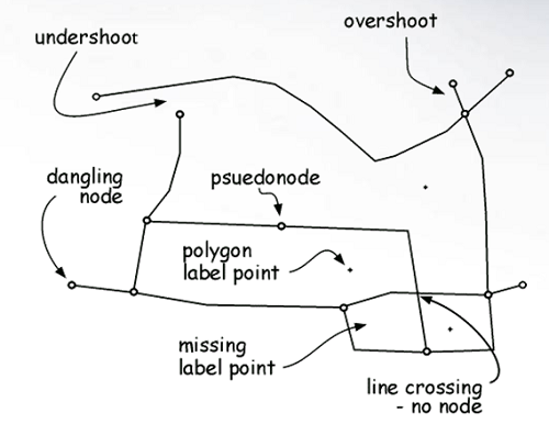
Setting a fuzzy tolerance (snapping tolerance) is used to reduce undershoots and overshoots. The snapping tolerance is the minimum tolerated distance between nodes, lines and/or vertices.
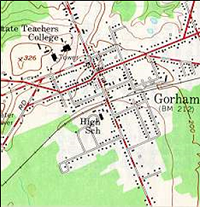
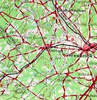
Below is an example of digitizing affected by map scale:
Grizzly Lake Trinity Alps Wilderness
© Copyright 2018 HSU - All rights reserved.