Using QGIS
QGIS is a full-functionality GIS application for analysis and map making. It includes transforms from the old GRASS GIS application.
Getting Started With QGIS
- Launch your virtual machine.
- Open the "Desktop GIS" folder
- Double click on "QGIS". The QGIS main window should open. Take a little time now and explore the various features and user interface elements within QGIS. You'll find that the interface is different from ArcGIS in a number of ways but almost all the same features are there and QGIS has some additional features as well.
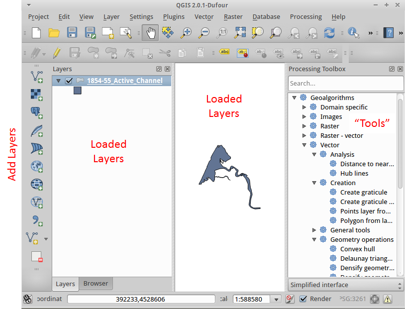 Loading Data
Along the left side of the QGIS window is a series of icons for loading data. You can also load data from the "Layer" menu.
- Bring up a browser.
- Navigate to the HSU Data Hub or another web site that has easy to download shapefiles.
- Save the shapefile to your "2_Originals" folder and unzip it.
- Click in the first icon to load a shapefile into QGIS.
Defining and Projecting Spatial References (CRSes)
To define the spatial reference for a layer
- Right click on the layer
- Select "Properties"
- Select the "General" tab
- Click on "Specify"
- Select the desired CRS (Filtering here can help a lot)
- Click "OK" and "OK" again
To project a layer to a new spatial reference
- Make sure the spatial reference is defined by going into Properties for the layer (see above).
- Right click on the layer and select "Save As".
- Click on "Browse" to specify the CRS.
- Click "OK".
- You'll need to specify the other information as for saving any layer and then the layer will be reprojected as it is saved.
Note: QGIS does not include the ability to crop layers when the coordinates are outside the valid range for the spatial reference. This needs to be done first and then save the file.
Additional Tutorials