Lab Practical Test: Post-Fire Analysis for the Soberness Forest Fire
Disclaimer: this is based on real events and GIS activities defined by spatial analysts who work with fire but is a contrived assignment.
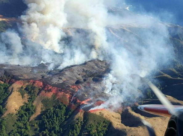
Soberness Fire (patch.com)
The Soberness forest fire was the most expensive fire to date. Government agencies are now in need of information on the first and who it effected to make plans for compensation and restoration.
Your assignment, as a group, is to create the following deliverables:
- A report:
- The report should include:
- Total area burned
- Area of burn for each parcel by owner (State/Fed/Private, Wilderness, FS, parks, etc.)
- Map with the area of burn symbolized by ownership with a legend
- Stream/river systems that were effected
- Length of streams impacted
- Watersheds effected with area and percent burned
- Available access (roads)
- Some cool pictures
- A table with the number of hectares by land cover using NLCD codes
- It should be an MS-Word file format with the sections:
- Introduction/Background
- Methods
- Description of the site
- Flow charts for the main processing steps
- Results
- Conclusion
- Citations
- A web site:
- The target audience for the web site is public in general and specially, government agencies involved in post-fire work
- The web site should include:
- Information on the fire with maps of the extent of the fire
- Summary results of the analysis
- Links to web sites with information and data (someone should have a "public_html" folder that you can put the data sets into that you can link to)
- A copy of the report
- Data sets:
- Fire extent
- Available roads
- Stream and rivers
- Watersheds
-
Extra Credit:
- Add information on the critical habitat for threatened and endangered species that might effected by the fire and associated human activities.
- Add information on the areas that are susceptible to slides (i.e. high slope areas).
You can use any sources of information that are not classified but please cite all sources.
Learning Outcomes
- Exercise skills acquired thus far in GIS
- Create flow charts