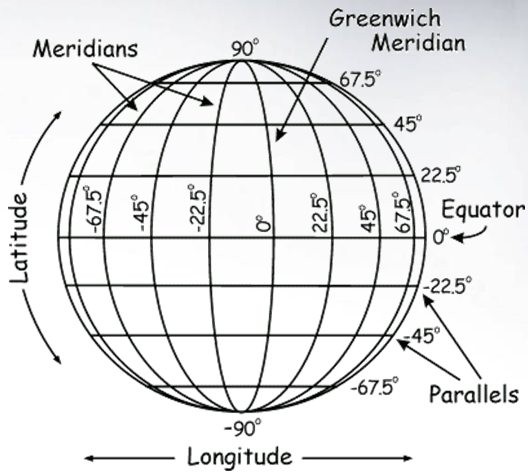
When we describe the Earth in spherical coordinates it is called Geographic, or Un-projected. The lines running North to South are called lines of longitude, while the lines running East to West are called lines of latitude. As we move East-West, we change through 360 degrees. In other words, the Earth is 360 degrees around. As we move North-South, we change through 180 degrees. In other words, going from the North Pole to the South Pole is 180 degrees.
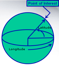
These spherical coordinates (latitude and longitude) indicate locations on a 3-dimensional representation of the Earth.
 |
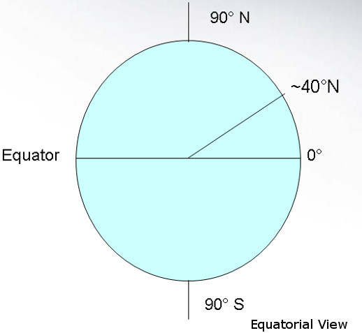
Latitude: The angle between the equator and any point, measured from the center of the Earth. |
 |
Longitude: The angle between the prime meridian and any point. |
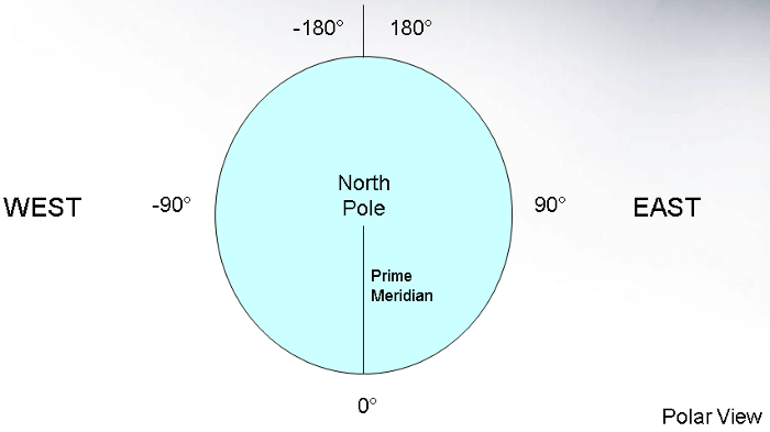
The system we will work with the most encodes longitude from -180° in the middle of the Pacific to 0° at the Prime Meridian, which runs through Greenwich, England and back to 180° in the middle of the Pacific.
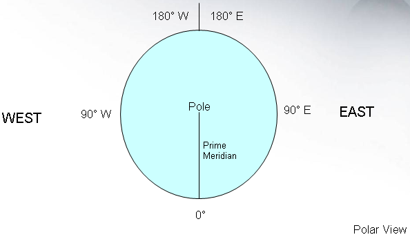
Another common and older way of encoding longitude is from 180° West to 180° East.
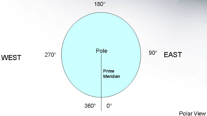
A rare encoding is to go from 0° at the Prime Meridian through 360°.
The system we will work with most encodes latitude from 90° to -90°.
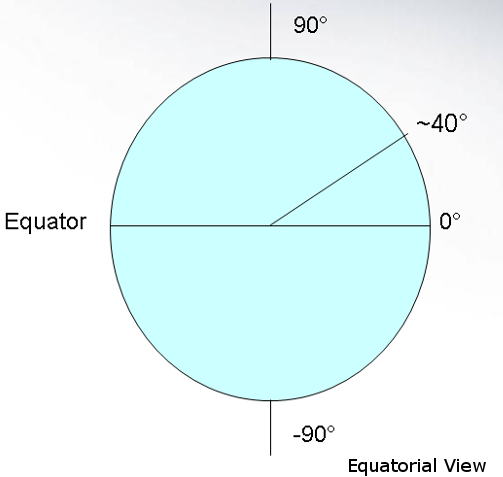
Another common way of encoding latitude is from 90° N to 90° S.
© Copyright 2018 HSU - All rights reserved.